We planned to go on the Matterhorn glacier on Wednesday to ski. I can’t ski so I would have been a rest day and I would have enjoyed the sun and the snowy mountains from above.
We woke up early on Wednesday according to the plan and realized that skiing won’t happen because our legs were so sore from the hike on Tuesday. We decided instead to rest in the morning, have a good breakfast and go on a small hike on Rothorn.
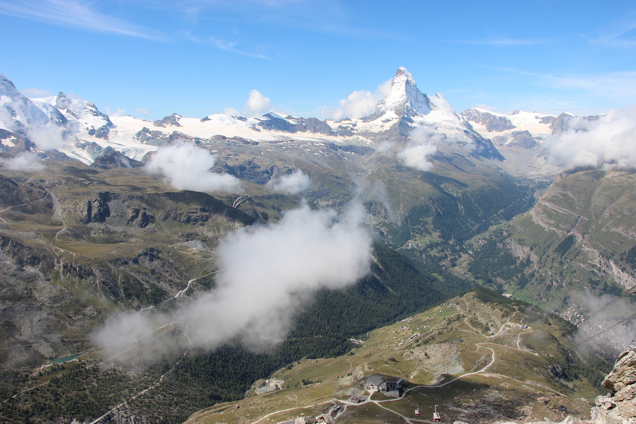
We took the shuttle to Sunnegga, followed by the gondola to Blauherd and another gondola to Rothorn, high at 3,100 meters.
Peak Collection
We began our hiking day with the Peak Collection hiking trail on Rothorn. This trail took us in a circle on Rothorn, displaying sculptures and explanations about the mountains surrounding Rothorn.
Kristallweg
Rothorn – Fluhalp – Stellisee – Blauherd
We started descending from Rothorn at 12 o’clock at noon following the Kristallweg hiking trail. This trail is 5.2 km long and according to the plan it should take 1.5 hours downhill.
The first part of the trail is the actual ski slope in the winter, wide and partly steep in some areas but fairly easy.
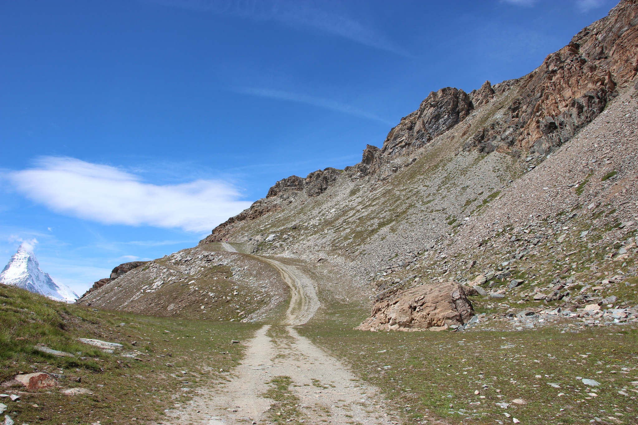
Further on it goes through the rocks, hence the name Crystal Way, and on a partially confusing trail to the Fluhalp where we pretty much got lost. The sign showed Kristallweg in three directions, one from where we came, the second to Stellisee and the third to the Fluhalp. Since the plan said that the alp would be the next point, we followed the third sign for some time until we realized that the trail suddenly ended on a field.

We turned back on a different trail where many hikers were going and found our way to the 5 Seenweg hiking trail after an experienced hiker gave us directions and also told us that the trail to the Fluhalp which we took was leading nowhere.
5 Seenweg
Blauherd – Stellisee – Grindjisee – Grünsee – Moosjisee – Leisee – Sunnegga
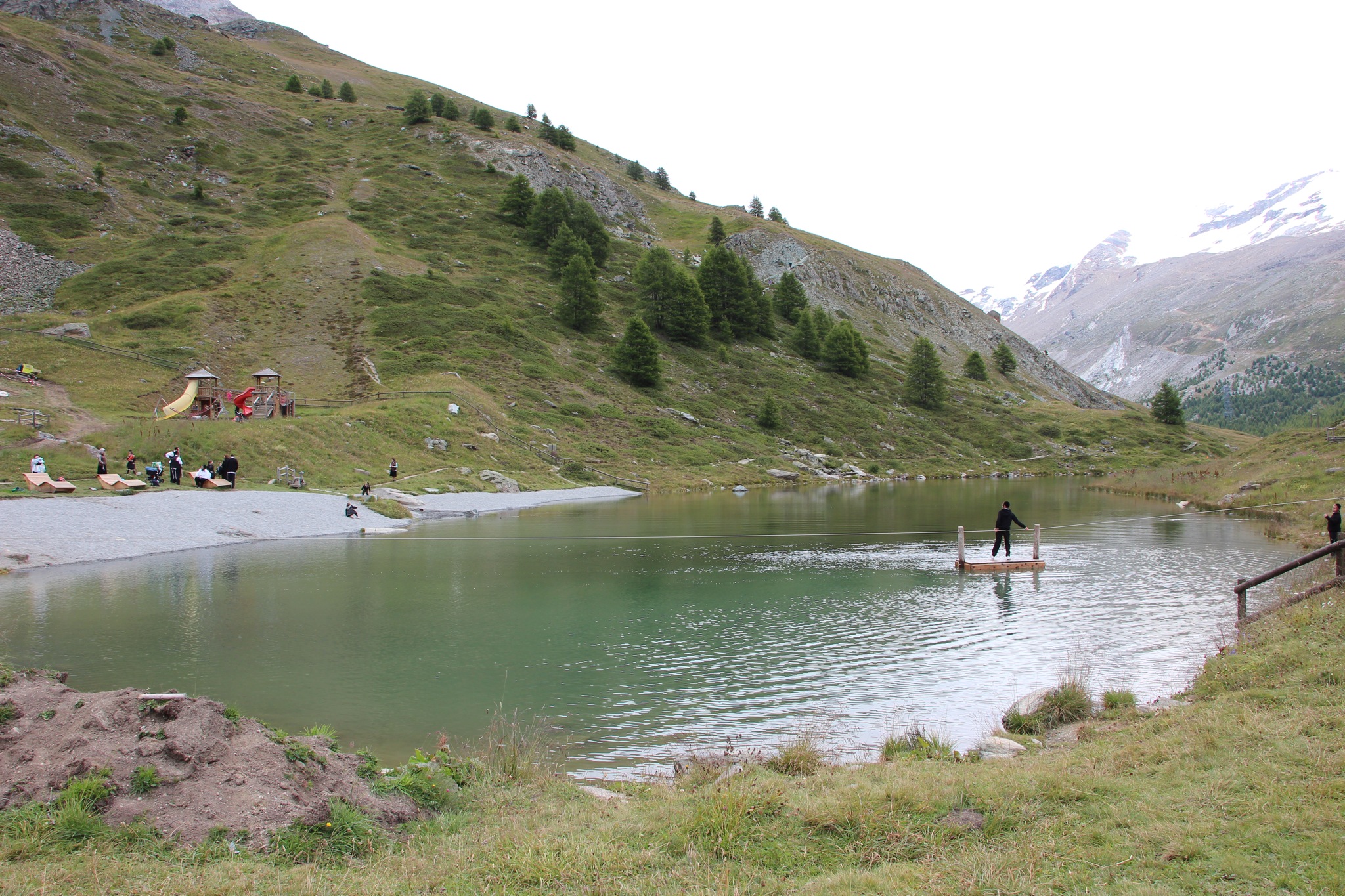
We got to the 5 Seenweg sign and noticed that we missed Blauherd and Sellisee because the sign showed the next lake Grindjisee on the plan. We obviously made a huge detour trying to find the Fluhalp and lost a lot of time so we decided not to return to Sellisee but instead to continue to the next lake.
The 5 Lake Way is, like it’s name says, a trail with five mountain lakes, it is 7.6 km long and it tkes about 2.5 hours downhill. It goes mostly on the road which is a ski slope in the winter and there are small trails near the lakes leading to the lake and then back to the road.
We saw the Grindjisee, the Grünsee and the Moosjisee (which was by the way empty). This area is so beautiful with fields, flowers, waterfalls and creeks along the way.
We were at Moosjisee when it started to rain, there was only Leisee left which was close to Sunnegga so we took the shortcut over the mountain on the narrow path instead of going around on the road.
It was pretty steep and I got dizzy again but I stayed strong and we quickly got to Leisee. We couldn’t enjoy it much though because of the rain so we took the train back down to Zermatt. I considered walking to Zermatt but it was a long way down and it was already after 16 o’clock and the rain wasn’t helping either.
Hiking on Wednesday was much easier, I didn’t take my backpack as I did on Tuesday but carried only my camera and it was much better. Traveling light when hiking is definitely easier.
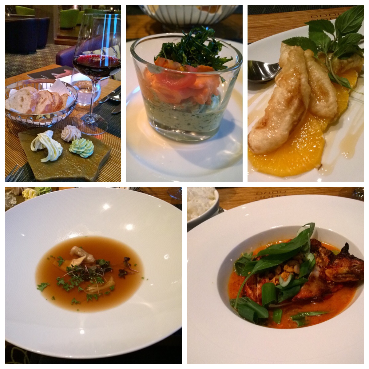
After a break at the hotel and an afternoon nap, we headed out to Zermatt for dinner and found this nice Italian restaurant where I had pizza and tiramisu.
My FitBit reported 28,643 steps, 109 floors and almost 20 km on Wednesday again. That’s probably the reason why we couldn’t walk in the evening and on the next day either.
We postponed skiing on the Matterhorn glacier to the next morning on Thursday before traveling to Lake Lucerne but again our legs were hurting a lot from hiking for two days straight so we just packed, had breakfast, got the car in Taesch and hit the road. I’m actually pretty sad that we missed the Matterhorn glacier paradise but we might be back some other time.
We didn’t go through the mountain again like we did to Zermatt but we took a big detour to Bern and drove on the highway instead. Even though it is 300 km over Bern instead of 150 km over the mountain, both routes take 5 hours. This route is not as nice as on the mountain but we passed lots of wine yards, the Geneva Lake and the French area in Switzerland (all the signs and everything were in French).
We arrived in Weggis at 17 o’clock in the afternoon and had plenty of time for the hotel spa and swimming before the 3-course dinner which we booked upfront.